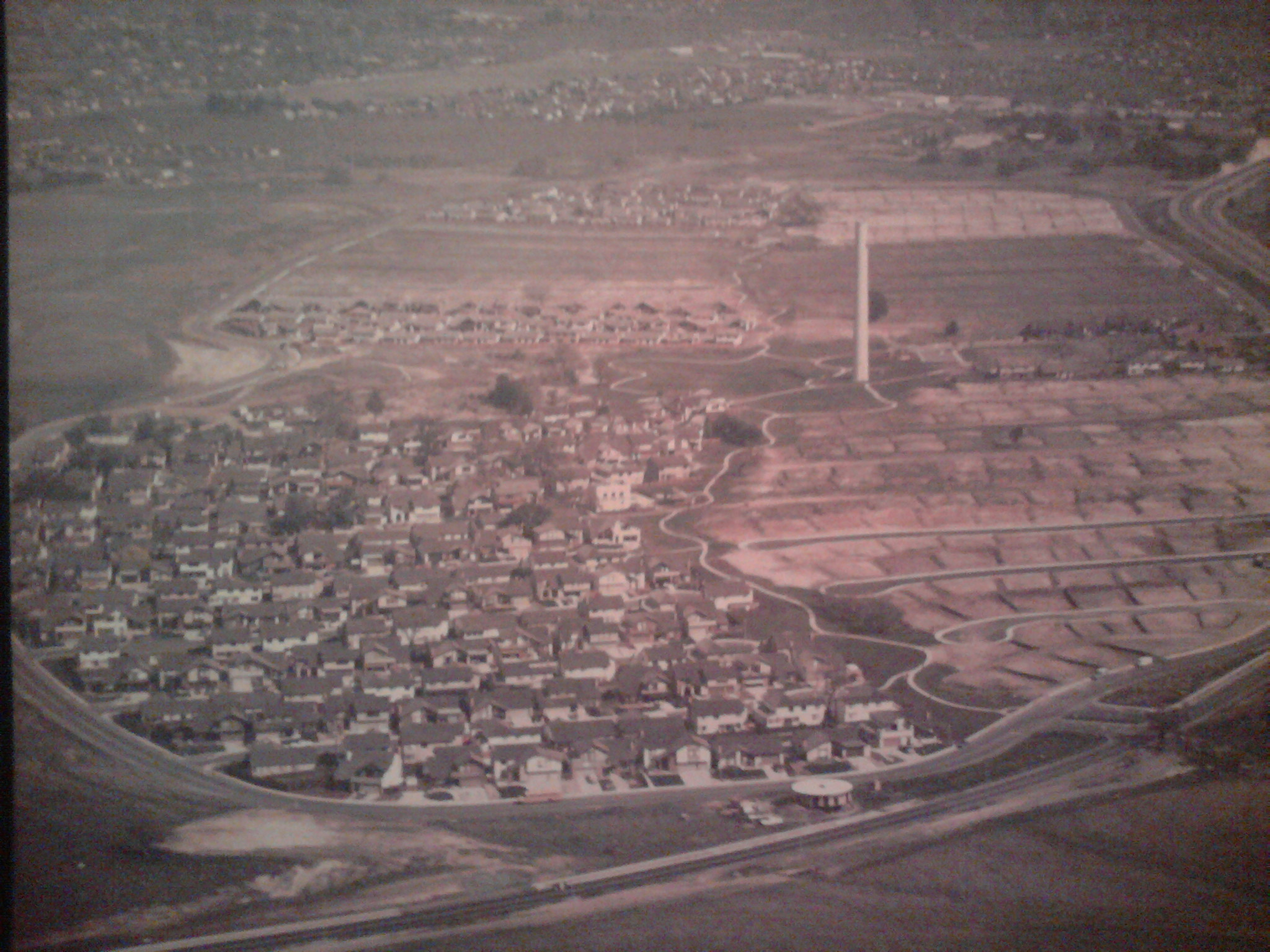
Fantastic picture! Thanks to Ron Stewart for sharing this aerial photo of the Crossings with us. It was taken in the mid-70s.
If you look close, you can see Ygnacio Valley Road on the right hand side, and Cowell Road at the bottom. The smokestack is there, too!
Click on the picture for a much larger view.
ABOUT THE CLAYCORD ONLINE MUSEUM: The Claycord Online Museum is made up of historical photos, documents & anything else that has to do with the history of our area.
If you have any old photos or items that you’d like to place in the Claycord Online Museum, just scan or take a photo of them, and send them to the following address: news@claycord.com. It doesn’t matter what it is, even if it’s just an old photo of your house, a scan of an old advertisement or an artifact that you’d like us to see, send it in and we’ll put it online!
Click on the tag below titled “Claycord Online Museum” to view other items


Great picture!
This is a great picture! It is making me realize that I have never seen a picture of the concrete plant (?) That was here before the neighborhood. Or any pictures of Cowell.
Thank you for this.
I’ve always loved that picture, and if I look carefully, I can see the lot where my house would eventually be built.
I’ve got another aerial picture of the Crossings that was taken just before the smokestack was removed: https://cowellian.wordpress.com/cowell/smokestack-saga/#jp-carousel-1616
Great pic. Use to play in the stack as a kid. Walking to Cowell town to play with friends. Cowell town had wooden sidewalks and a wall paper manufacturing plant that would give us kids samples of floral wall paper. Played in the fields that is now the crossings. Concord and the people were great back then.
I always remember the public pool that was in a park off of cowell road. Maybe that is long gone now, but fun times back in the 1970s.