
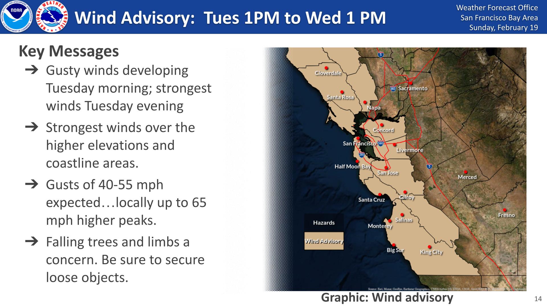
The holiday weekend’s mild weather will be replaced Tuesday by a storm system bringing strong winds, chilly temperatures and the possibility of snow for some higher elevations around the greater Bay Area.
A wind advisory will be in effect from Tuesday afternoon through midday Wednesday, according to the National Weather Service. Gusts of 40-55 mph are expected in some areas, and 65 mph on the region’s higher peaks.
Parts of the Bay Area could see light rain between Wednesday and Saturday, possibly accompanied by some thunder and hail, forecasters said.
A dusting of snow at elevations higher than 1,500 feet is possible for peaks in the East Bay and North Bay. The Santa Cruz Mountains and Santa Lucia range are more likely to see accumulated snow, forecasters said.
Temperatures are expected to reach the mid-30s in interior valleys, with coastal communities remaining in the low 40s. The chilly temperatures will linger through the weekend and the region isn’t expected to warm up until until Sunday and Monday next week, according to the weather service.
We shall see.
A lot of hype from the government.
These days weather reports are not predictions but more likely the weather menu of what they will be serving.🙄
I wonder if Newscum will call it a state of emergency as the snow will be ‘unprecedented’ in many areas.