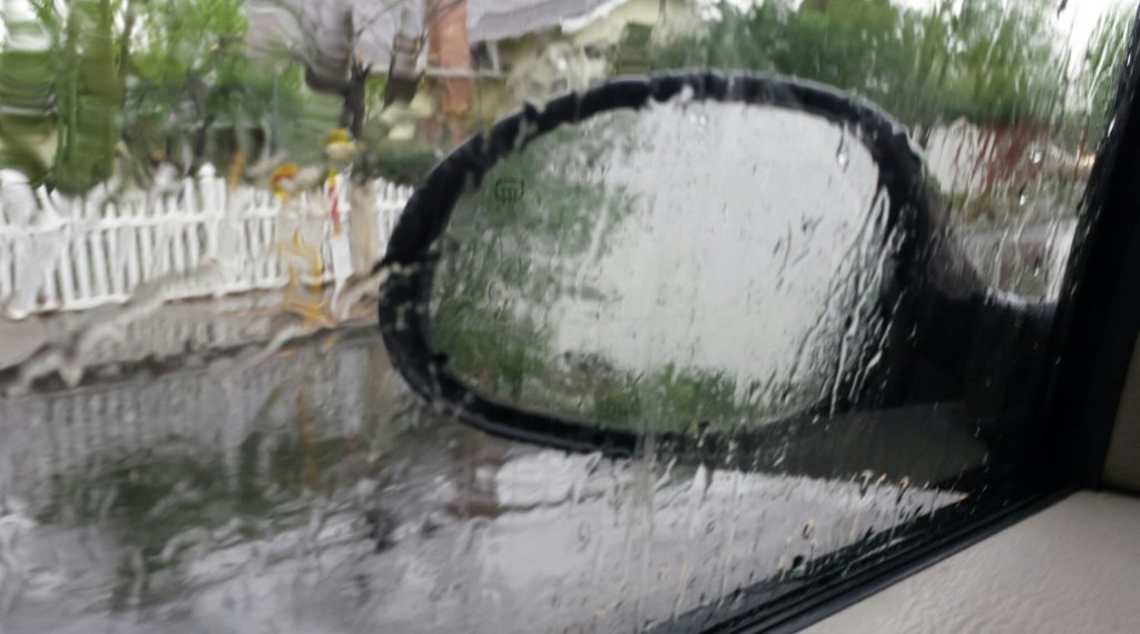
The Bay Area’s first rainstorm of 2019 is expected to arrive just in time for the Thanksgiving Day holiday travel period and immediately after another dry wind event, according to the National Weather Service.
The storm is expected to arrive on Tuesday afternoon into the evening hours across the region, but will be set-up by another offshore wind event today that is expected to increase fire danger for at least one more day this year.
Meteorologists said today’s wind event will see the strongest winds in the hills, but the event is expected to cover all higher elevations starting in the North Bay and extending as far south as Monterey and San
Benito counties. Humidity levels will drop during the day today but will recover – along with winds that are expected to subside later night.
Tuesday will see rain arrive in the North Bay in the afternoon hours, followed by the rest of the Bay in the evening hours, meteorologist Will Pi said. Winds are expected to be the strongest on Tuesday night as the
storm arrives, expected to be around 30-40 mph.
Rainfall between Tuesday and Thursday is expected to be between 1/2-inch to 1 inch, with possibly 1.5 inches in the Santa Cruz Mountains and Santa Lucia Mountains.
Pi said showers are expected to continue Wednesday into Thursday, with a dive into freezing temperatures Thursday night and Friday morning. The Valleys are expected to drop into the 20s at night, North Bay areas are expected to see lows in the 30s to 40s and low 30s are expected from San Jose into the Gilroy area.
Friday will see the region drying up, with highs staying in the low 50s but lows coming up before an overall increase in temperatures on Sunday, Pi said.
Snow levels are expected to be between 2,500-3,000 feet and may fall as low as 2,000 feet Thursday if moisture remains in the area, Pi said.
Travelers going across the Sierra Nevada Mountains are warned to carry chains and be ready for changing conditions as several feet of snow is expected.

Oh great!
Let the demolition derby begin!
All you texters make sure you speed
and tailgate!
If only they kill them selves!
The meteorologist’s name might be the only accurate thing in this story.
That has to be his made up, Hollywood name.
The name suggests the meteorologist could be from southeast Asia such as Vietnam. I knew a guy named Jeff Liu (pronounced “Loo”), and an electronic tech named “Ng”, pronounced “Ing”. I would suspect that “Pi” might be pronounced “Pee” in his home country or “Pie” in the US.
I had a third name example in my head but it evaporated while typing the above.
Kirkwood,
“Nguyen” – Pronounced “win”.
Maybe “Pi” is pronounced “3.14159…….”
Fingers crossed it actually happens.
The news media is having a grand old time hyping the coming storm which will likely “wimp out” like every cold front in the last 8-10 years, but it is the new normal. Flooded streets in Concord and Ellis Lake overflowing are just a memory, just like seeing the Walnut creek behind the Hiilton running 4′ below the top of the channel. That channel in now 6′ shallower due to silt.